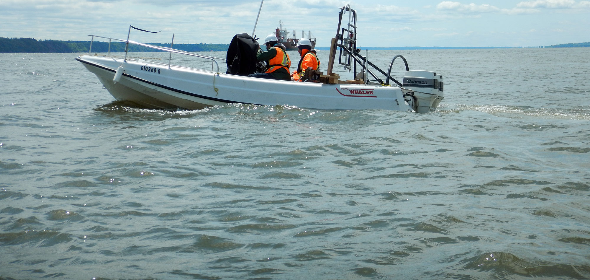
Encountering unexpected obstructions during directional drilling projects can be a costly problem. Prior to directional drilling or tunneling beneath rivers or bodies of water, Geophysics GPR can map the bedrock elevation and identify areas of potential boulder material or other features along the alignments that could interfere with the project.
The optimum Directional Drilling Alignments can then be chosen based on the non-intrusive results of the geophysical investigation.
Some of the typical methodologies employed include :
The drilling alignment data can be collected across open water, on ice crossings or over land.
For more information, please contact our Marine Survey Team.
For information on tunneling and direction drilling projects on land, visit the Ground chapter of our website.


