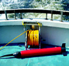
The sections below provide brief summaries of the different marine geophysical methods and techniques. The vast field experience of GPR ensures the selection of the best options for the realization of all your marine projects.
For more information, please explore the links below or contact our Marine Survey Team.
Our marine geophysics techniques
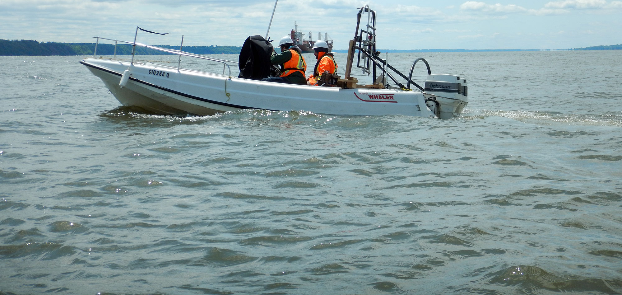
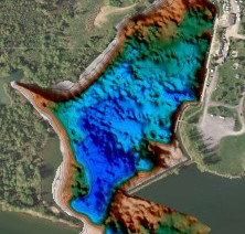
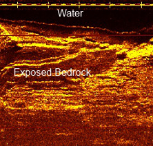
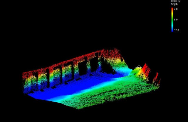
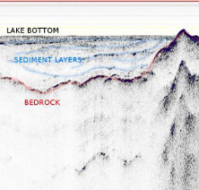
Marine geophysical techniques are commonly used to determine the topography of the sea floor, to obtain acoustic imaging of the seabed, to generate high-resolution maps of sub-bottom geology or as components of underwater archaeological studies.
Main marine geophysics techniques :
For more information, please contact our Marine Survey Team.