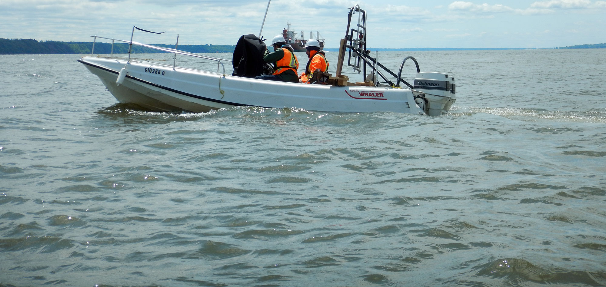
Bathymetry is the science of measuring water depths to determine the topography of the bottom. Bathymetry refers to mapping of water depth. A complete bathymetry system includes a means of measuring the water depth (echo-sounder) and a means of positioning said measurement (DGPS or RTK).
From simple single beam bathymeters to heliborne georadar and state-of-the-art swath systems, Geophysics GPR is equipped to meet all your water depth mapping requirements.
The different applications of bathymetry are as follows:
- Hydrographic Surveys for navigational safety;
- Production of Digital Terrain Models (DTM) of the bottom for engineering design (tunnels, pipelines, bridges);
- Dredging control;
- Hydro-electric projects;
- Geotechnical and engineering studies.
For more information, please contact our Marine Survey Team.


Bathymetric sounders or bathometers operate by emitting sound vibrations, detecting their echo after bouncing on the bottom and determining the travel time. The information thus provides a horizontal profile which can be plotted as 2D plan maps/charts or gridded for 3D representations of the bottom.
A convention using color codes can map the seabed in a standardized way (General Bathymetric Chart of the Oceans or GEBCO, established under the auspices of the Intergovernmental Oceanographic Commission and the International Hydrographic Organization).