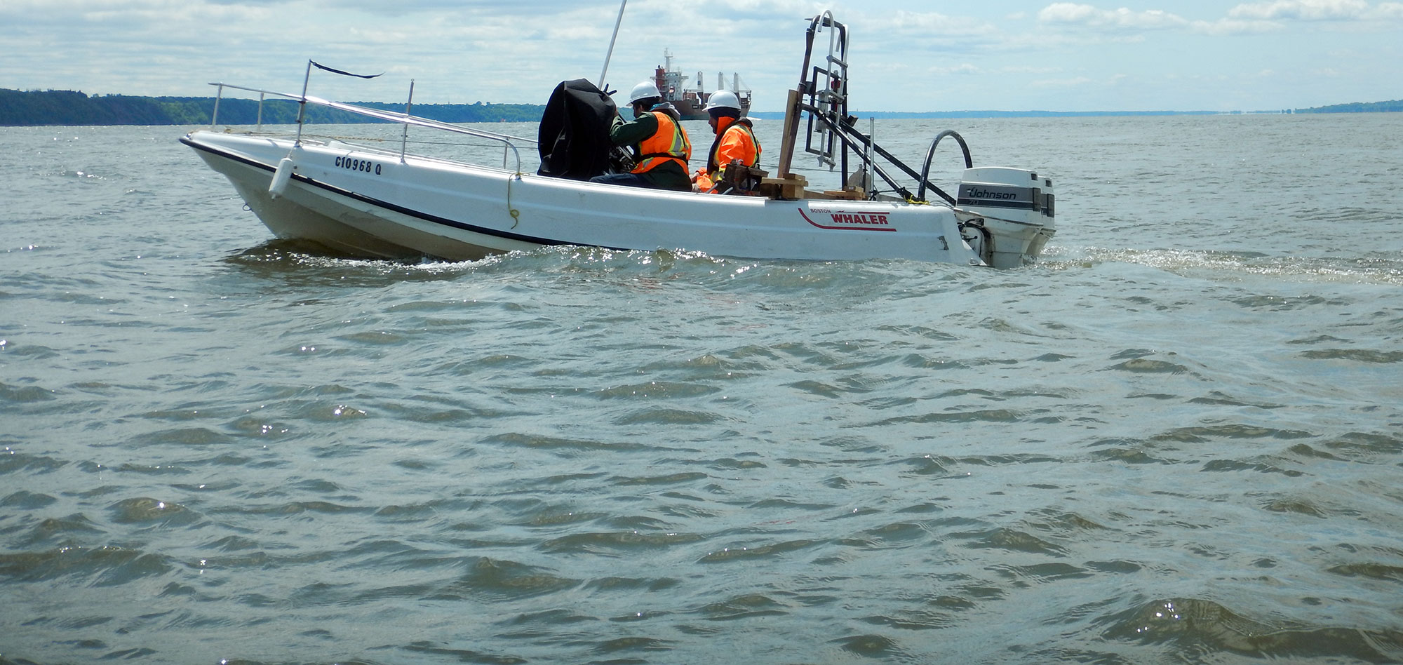
Benthic habitat mapping, in general, involves using multiple methodologies to generate detailed geo-referenced data sets and maps of the underwater environment. The final data sets are used to make informed policies and design decisions.
The images below are from a large scale publicly accessible benthic habitat mapping project completed by Geophysics GPR in the Caribbean.
The geophysical investigation involved detailed bathymetry, side-scan sonar and other geophysical techniques to produce detailed geo-referenced data sets and maps.
GPR's newest swath bathymetry system is ideal for detailed benthic habitat mapping projects.
For more information, please contact our Marine Survey Team.


