As on land, there are a range of methodologies for geologic mapping of sub-surface bedrock and sediment layers.
Different methods used for geologic mapping
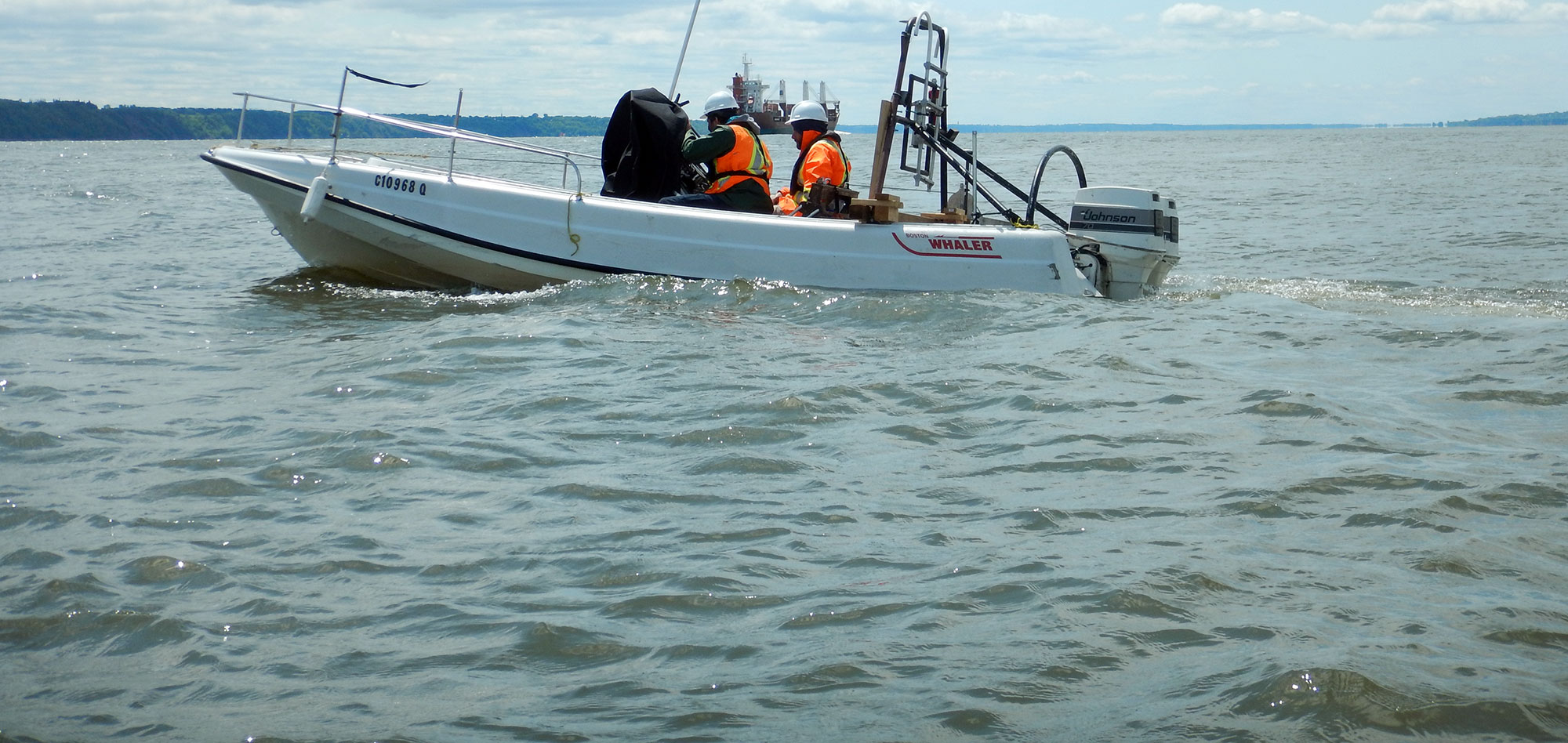
Marine seismic refraction is the preferred methodology for engineering/geotechnical studies where mapping the depth to competent bedrock is critical.
Seismic reflection and sub-bottom profiling can produce detailed images of the subsurface layers.
Side-scan sonar and bathymetry surveys are key components for mapping variations in bottom conditions.
For more information, please contact our Marine Survey Team.

