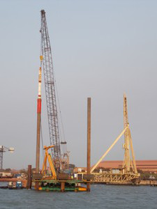
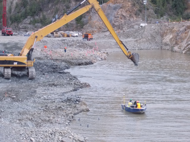
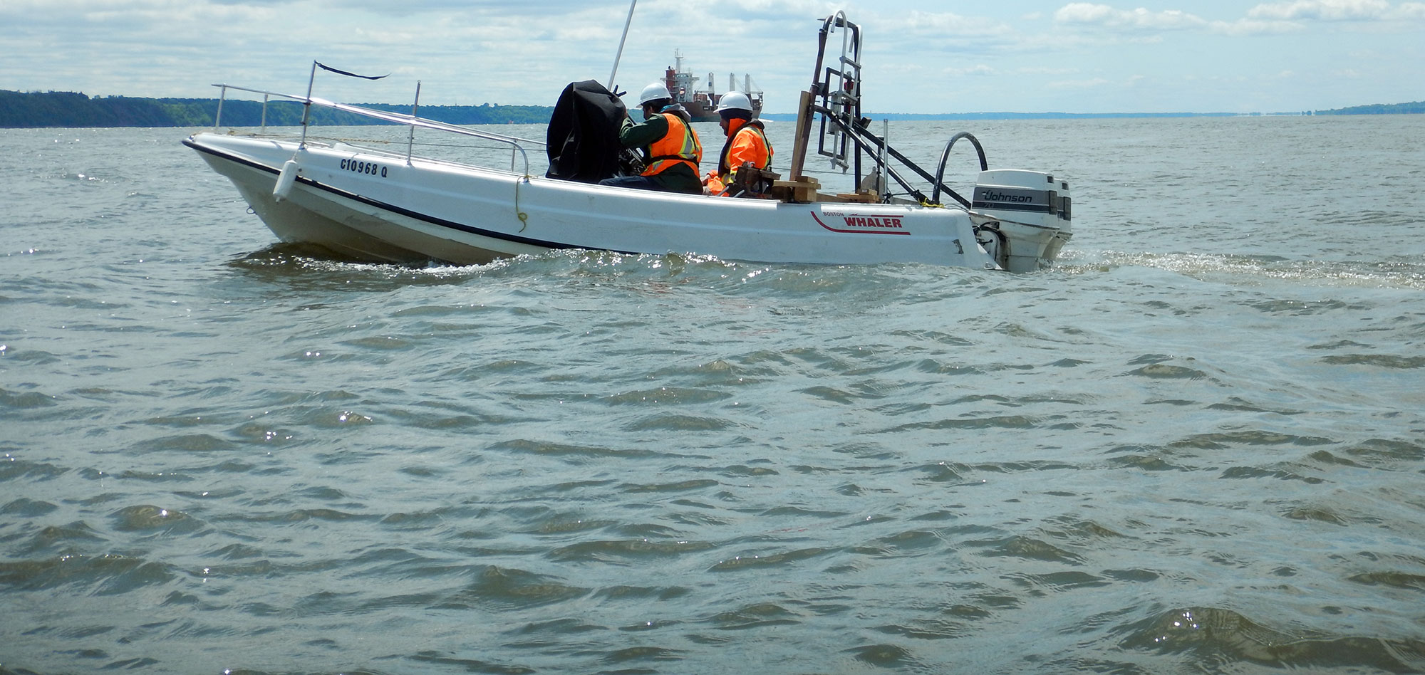
Before detailed design of marine construction projects can begin, it is essential to have complete and precise geological information from the site.
Through the use of multidisciplinary surveys, Geophysics GPR is able to satisfy the requirements of its clients in Canada and abroad for both small and large marine construction projects.
For example, the classic pipeline / tunnel corridor crossing a river or lake necessitates the acquisition of the following information :
- Precise elevation data of the bottom (bathymetry);
- Precise location of existing infrastructure or unknown obstructions (side-scan sonar)
- Sediment and rock properties (seismic, MASW and sediment sampling);
- Speed and direction of current (current measurements);
- Sediment thickness and identification of geological layers (marine geological profiling);
- Precision positioning of all of the above (RTK GPS positioning).
In addition, GPR can provide marine safety services for your construction crews working on or near water.
For more information, please contact our Marine Survey Team.


