The seismic reflection method relies on inducing a seismic wave into the seabed and recording the waves that are reflected from sub-surface layers. Seismic reflection is ideal for mapping geology at deeps exceeding 50 m.
Typical applications of seismic reflection include:
- Bedrock profiling and locating of faults and fracture zones;
- Determining the thickness of overburden layers;
- Identifying sub-vertical geological contacts.
Deep seismic reflection surveying is the most advanced technique in geophysics today, thanks to its application on a huge scale for oil and gas exploration.
This technique does, however, have other applications on a smaller scale, such as for civil engineering project site investigation.
For shallow depths, the theory is identical, but the equipment and parameters are adjusted to provide a higher resolution at shallow depths.
For more information, please contact our Marine Survey Team.


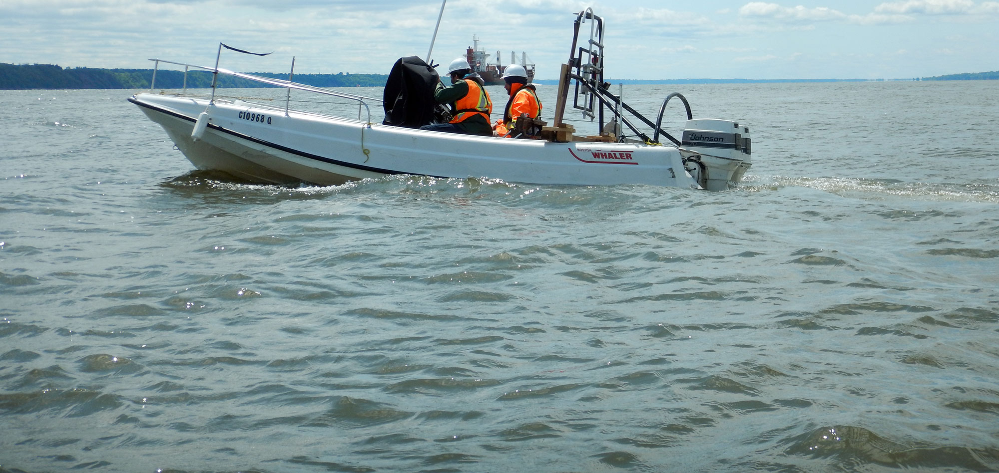
Seismic energy is generated at the near surface. The returned energy is recorded by a streamer of hydrophones. Reflection of the energy is caused by contrasts in acoustic impedance between the various strata.
Data processing is a sequence of operations carried out usually on powerful computers using specialized software.
The final product is a 2-D or 3-D dataset of seismic reflectors, which can then be correlated to specific geological interfaces.
For more information, please contact our Marine Survey Team.