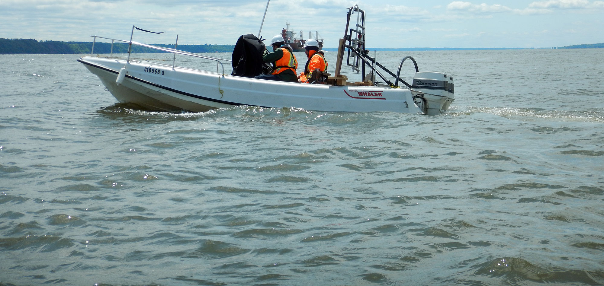
A basic sedimentation study implies high precision bathymetric surveys repeated over a fixed time interval. Using this information, estimates can be made on the rate of sedimentation in navigation channels, upstream of dam intakes, in ports or marinas etc. A more detailed study would include additional types of measurements.
A typical sedimentation study may include the following :
High precision bathymetric surveys;
Side-scan sonar surveys;
Marine geological profiling in critical areas;
Water and sediment sampling;
Tide and current measurements.
For more information, please contact our Marine Survey Team.

