Dredging control is performed through the use of bathymetric surveys prior to, and post, dredging operations. These two datasets can be used to focus the dredging requirements, estimate the quantities required to be removed, calculate the volume of the sediments dredged, and assess whether the right quantity of material has been removed.
The post dredging study results can be used to create an up to date nautical chart based on a specific vertical datum (Chart datum, sea level, etc.).
Such a chart is often required by the authorities to ensure navigational safety for waterways.
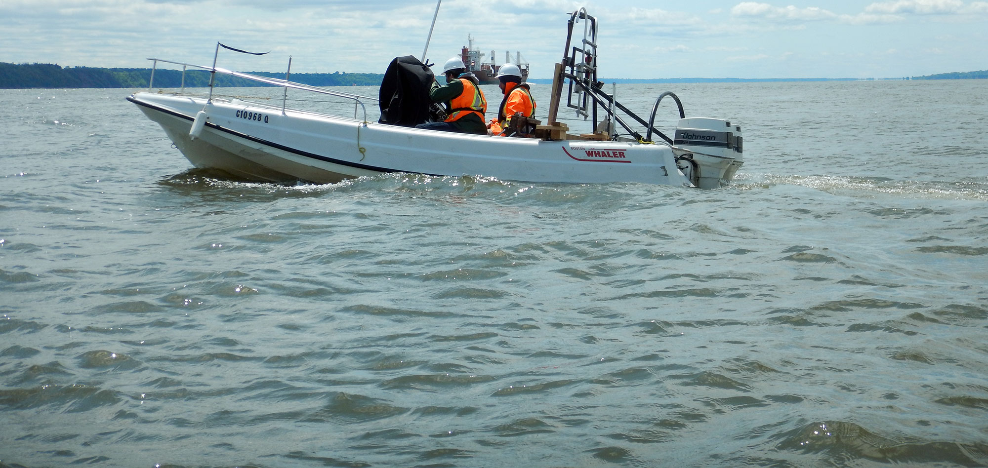
Through the use of modern bathymetric techniques, GPR can rapidly cover any given area, over rivers, lakes or oceans. With our expertise in single-beam, multi-beam and swath systems, GPR is able to respond to your particular needs, whether big or small.
For more information, please contact our Marine Survey Team.

