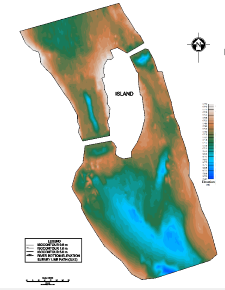
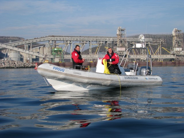
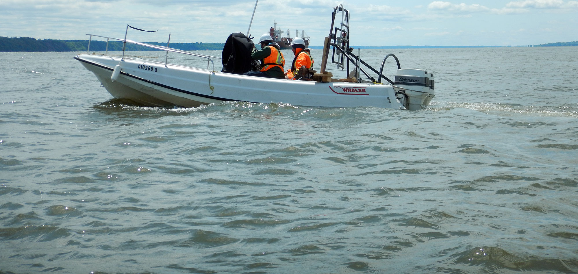
Hydrographic surveys are required in navigable waterways, ports, harbours, marinas, etc. GPR has obtained a vast experience in hydrographic surveys for maritime safety.
Most of the nautical charts for the St.Lawrence River around Montreal were produced using data acquired by the hydrographic surveys done by GPR.
Through the use of modern bathymetric techniques, GPR is able to rapidly cover the required survey area in order to assure the safety of the waterway. Data can be provided in the form of soundings on a chart, or contours of constant depth. The data can also be reduced with respect to the vertical datum required by the client (e.g. Chart datum, local datum, or Mean Sea Level).
For more information, please contact our Marine Survey Team.


