Local variations in the Earth's magnetic field are most often caused by ferromagnetic objects or other magnetic objects located in the vicinity of the studied area. Through measuring and recording of this variation, it is possible to detect objects submerged beneath the water (and sediments). An accurate map of the object's position can be created by recording the sensor's position along with the magnetic variation.
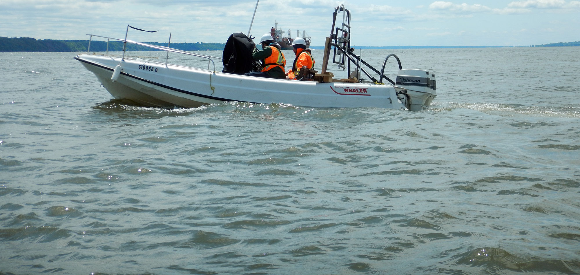
Marine magnetometry surveys are carried out using a magnetometer specially modified for marine operations. The magnetometer is installed in a water-tight tow-fish, which is towed behind the vessel using a tow cable. The sensor used most often is a proton precession or Overhauser type.
Magnetometers have a very diverse range of applications, including locating objects such as submarines, sunken ships, hazards for tunnel boring machines, hazards in coal mines, unexploded ordnance, toxic waste drums, as well as a wide range of mineral deposits and geological structures.
Typical applications of magnetometry include:
- Archaeology;
- Engineering studies;
- Geological studies;
- Mineral exploration;
- Search and recovery of submerged objects.
For more information, please contact our Marine Survey Team.

