Marine seismic refraction data are typically collected for hydroelectric and engineering projects where the depth to competent bedrock and information on fracture or shear zones is critical.
Geophysics GPR specializes in marine seismic refraction surveys for engineering, geotechnical and geological investigations.
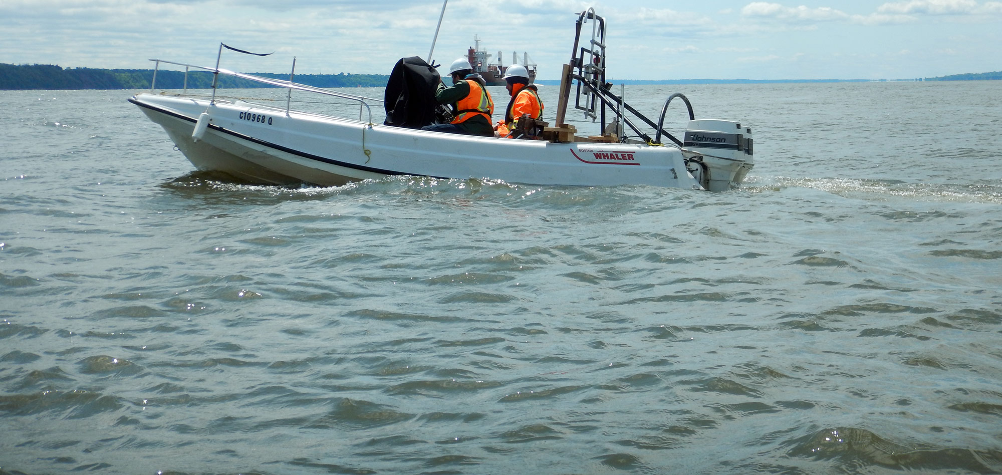
The marine refraction method can map the bedrock depth in areas not accessible by drilling platforms, whether due to safety, logistical or environmental issues.
The refraction method involves measuring the shortest time required for an induced seismic pulse to travel from the source location to a series of receivers. From this travel time data, seismic velocities and layer depths can be calculated.
The theory behind the method extends seamlessly into marine environments; however, the added complications of working in such environments, from quiet lakes to unnavigable whitewater rivers, requires the vast experience of GPR's experts for safe, efficient and quality data collection.
For more information, please contact our Marine Survey Team.


With over 40 years of experience, the seismic expertise of Geophysics GPR also extends on to land.
Visit the Ground portion of our website for more information on terrestrial surveys.