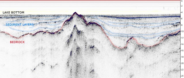
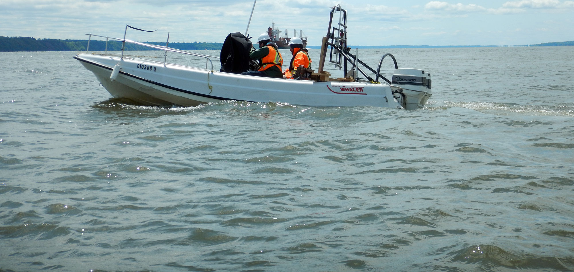
Sub-bottom profiling (SBP), in this case, refers to the high-resolution characterization of sediments and rock under bodies of water using tow-able chirp/ping system.
Marine geological profiling allows us to detect and to map interfaces between the various sedimentary layers or the overburden / bedrock interface beneath a body of water. The technique is based on the principles of seismic reflection, i.e. the emission of a seismic wave into the subsurface, and the reception of the energy reflected by the various interfaces.
With SBP systems, there is a trade-off between resolution and signal penetration. Geophysics GPR has a range of frequencies available to meet your requirements.
Typical applications of Sub-bottom profiling include:
- geological studies;
- geo-hazard surveys;
- buried object location;
- dredging surveys.
For more information, please contact our Marine Survey Team.


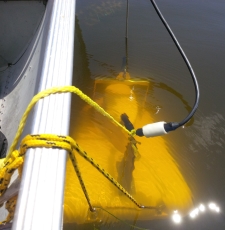
Marine profiling is carried out using two distinct types of equipment. The Sub-bottom profiler or Chirp system is an integrated system that is installed in a tow-fish and towed behind the vessel, close to the bottom. These are essentially high-frequency systems, which enables them to achieve high vertical resolution, but limits their depth penetration.
The second type of system is the more traditional Boomer type system, which employs a separate energy source and a floating hydrophone streamer, towed behind the vessel. The source can be an electric spark, an acoustic shock, or compressed air discharge. Frequencies employed are in the 500 Hz range, which results in a lower resolution, but allows greater penetration into the subsurface. The reflected energy is captured by sensitive hydrophones and recorded on a multi-channel seismograph for future processing and analysis.
In certain conditions, a ground penetrating radar system (georadar) can be used over water to replace the above-mentioned systems. However, the georadar system only works well in shallow fresh water environments, where the penetration required is minimal.
