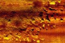
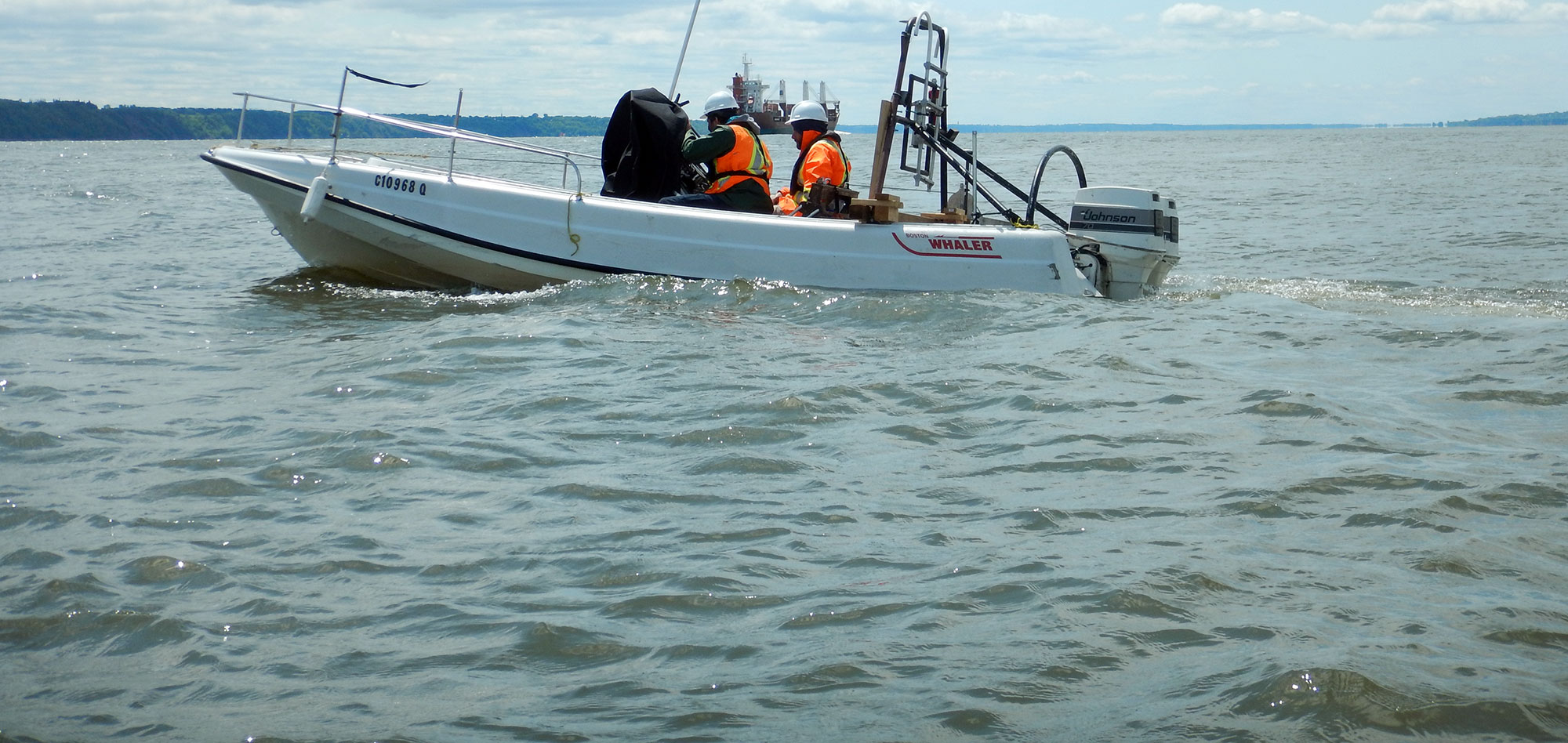
Side-scan Sonar systems enable the acquisition of images of the seabed including any underwater structures such as wrecks, dam walls, dikes, pipelines etc. through the use of acoustic waves.
Side-scan Sonar obtains images are similar to those of aerial photography, showing changes in the seabed composition as well as details of any submerged objects over a wide area, even in conditions of turbidity in the water.
The systems can be used in rivers, on lakes or at sea.
Typical applications of the Side-scan Sonar :
- Classification of the material on the seabed;
- Channel conditioning/clearance surveys;
- Hull inspections;
- Inspection of underwater structures such as pipelines, bridge pilings, dams, etc.;
- Search and recovery operations;
- Maritime Archaeological studies.
For more information, please contact our Marine Survey Team.

Data are recorded digitally, including positional information, and specialised software is used to create high-resolution mosaics from the sonar data covering large areas of the seabed.
Side-scan sonar may be used to conduct surveys for maritime archaeology; in conjunction with seafloor samples, it is able to provide an understanding of the differences in material and texture type of the seabed.
Side-scan sonar imagery is also a commonly used tool to detect debris items and other obstructions on the seafloor that may be hazardous to shipping or to seafloor installations by the oil and gas industry. In addition, the status of pipelines and cables on the seafloor can be investigated using side-scan sonar.
For more information, please contact our Marine Survey Team.

