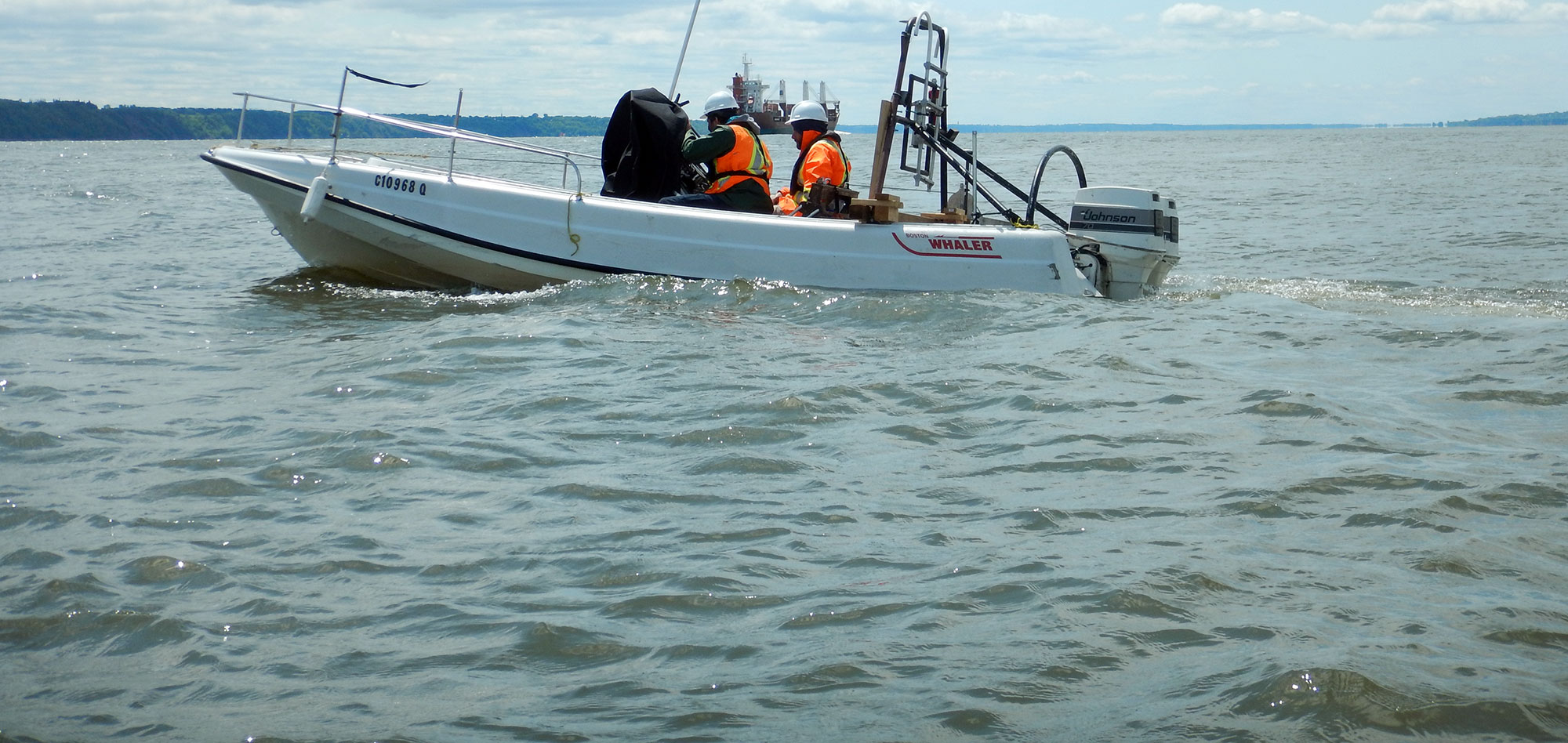
Bottom and sub-bottom mapping employ numerous marine geophysical techniques.
- Bathymetry and side scan sonar surveys can be used to map the bottom of lakes, rivers, ponds and seas.
- Sub-bottom mapping can identify layers' thicknesses and provide estimates of debris/sediment accumulation and bedrock depths.
- Sediment sampling can be used to produce maps of bottom sediment types;
- Underwater imaging can be used to produce maps of bottom vegetation and fish habitats.
For more information on the techniques applied, following the links below :
For more information, please contact our Marine Survey Team.